Microbial Water Quality Research Internship
Southern California Bight 2018 Regional Microbiology Monitoring Project
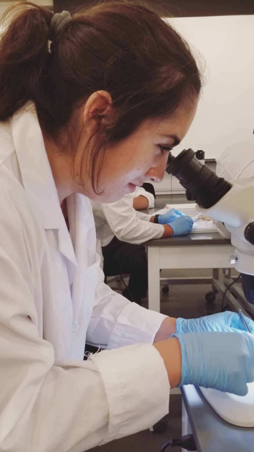
This project consisted of six labs conducting samples from twelve different beaches over the span of two years in Southern California. I worked as a microbiology research intern for nine months with the CSUCI division sampling water from two Ventura County beaches. Data collection was done in collaboration with Ventura County Public Health Department and Ventura County Water Department. Processed water samples using single layer agar and double-layer agar assays to assess coliphage and fecal contamination. Data collected was given to SCCWRP for further assessment.
Natural and Cultural History Research
Costa Rica, 2019
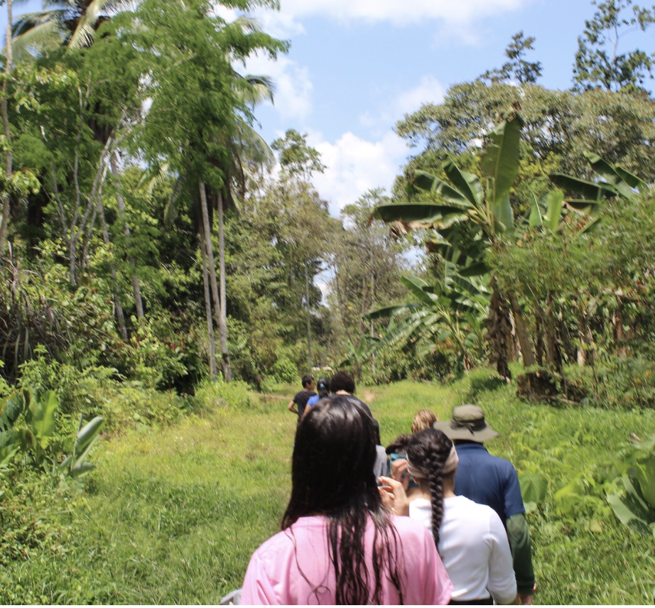
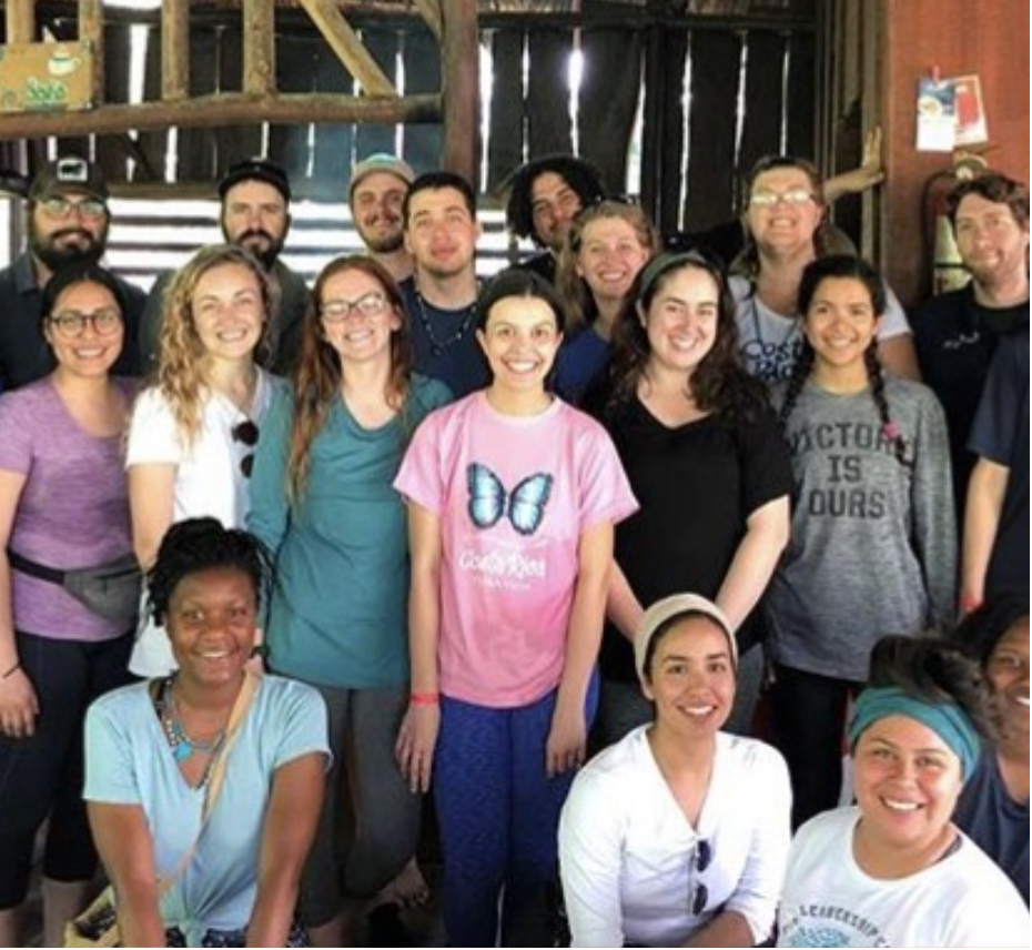
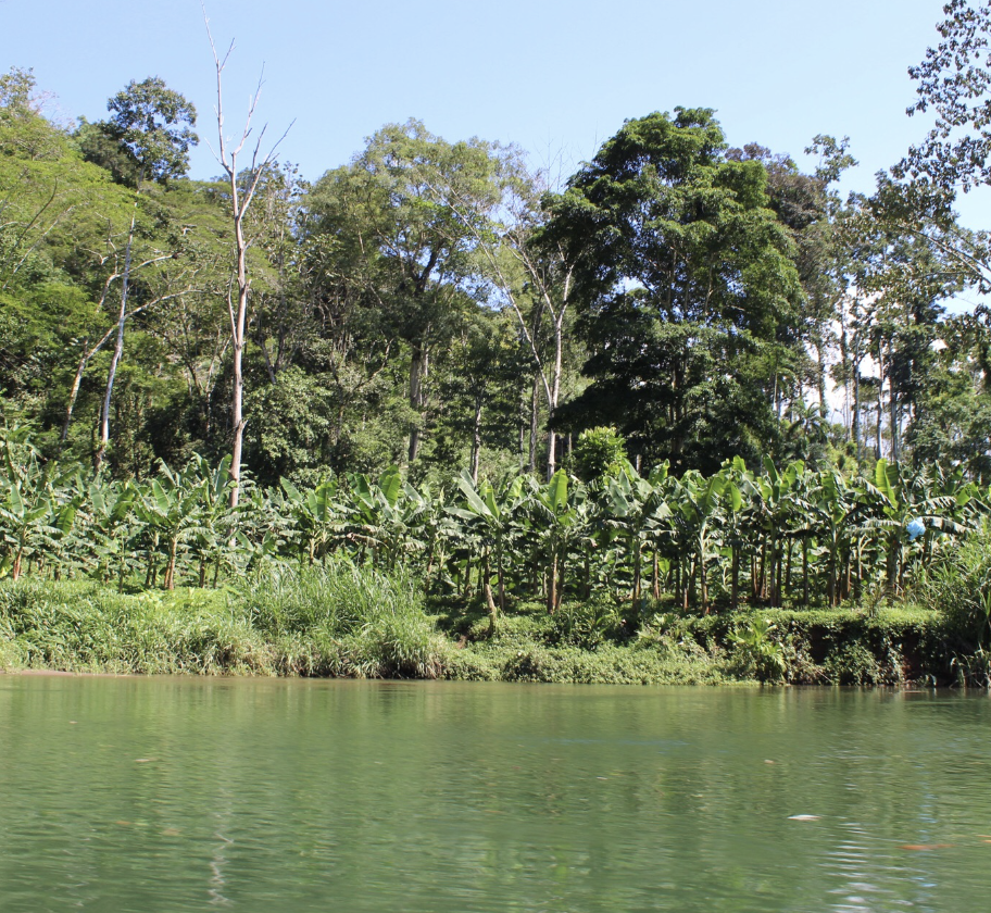
In the Spring of 2019 I participated in research throughout Costa Rica. A primary objective of this trip was to assist the Costa Rica Natural Parks service by monitoring mangroves in Marino Las Baulas National Park. This was done by measuring stem density, basal area and percent cover within a line intercept transect.
In addition to mangrove monitoring, we partnered with students and faculty from Universidad Nacional de Costa Rica to assist in their microplastic analysis in sand crabs and fish.
We were also able to assist faculty from Universidad Nacional de Costa Rica in monitoring vegetation cover over time along the Playa Grande Beach in Marino Las Baulas National Park. This analysis is done to monitor sea turtle nesting over time. It has been found that as housing develops along the beach and vegetation thins, less sea turtles are coming to the beach.
Additional research explored the culture of Costa Rica. This research was done by surveying tourists in Tamarindo on their knowledge of crocodiles. We experienced Native culture by staying with the Bri Bri tribe along the Bri Bri river to be fully immersed in their culture.
Wetland Restoration
New Orleans, Louisiana, 2018
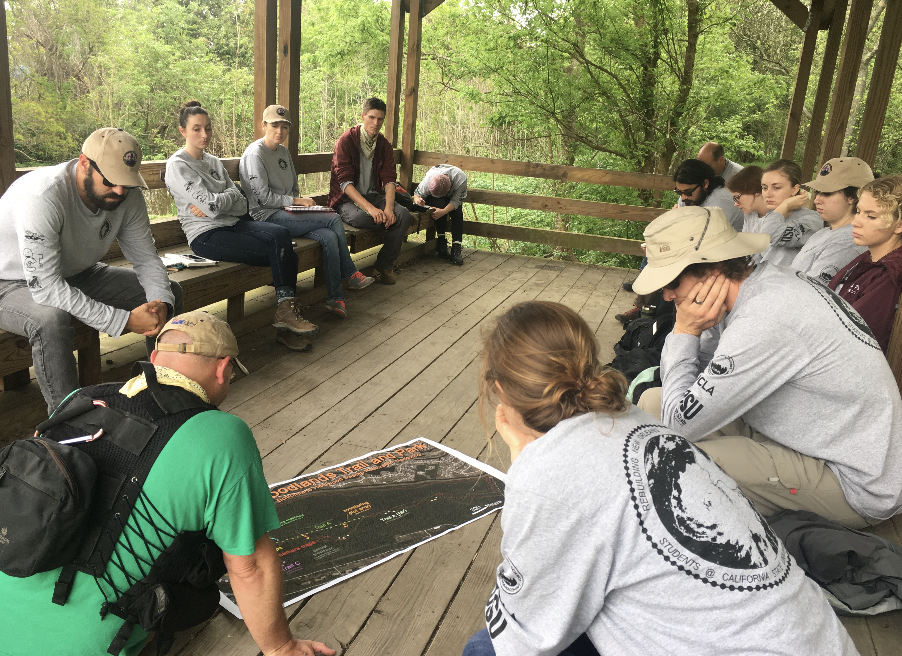
In the Spring of 2018 I took part in an annual Wetland Restoration project.
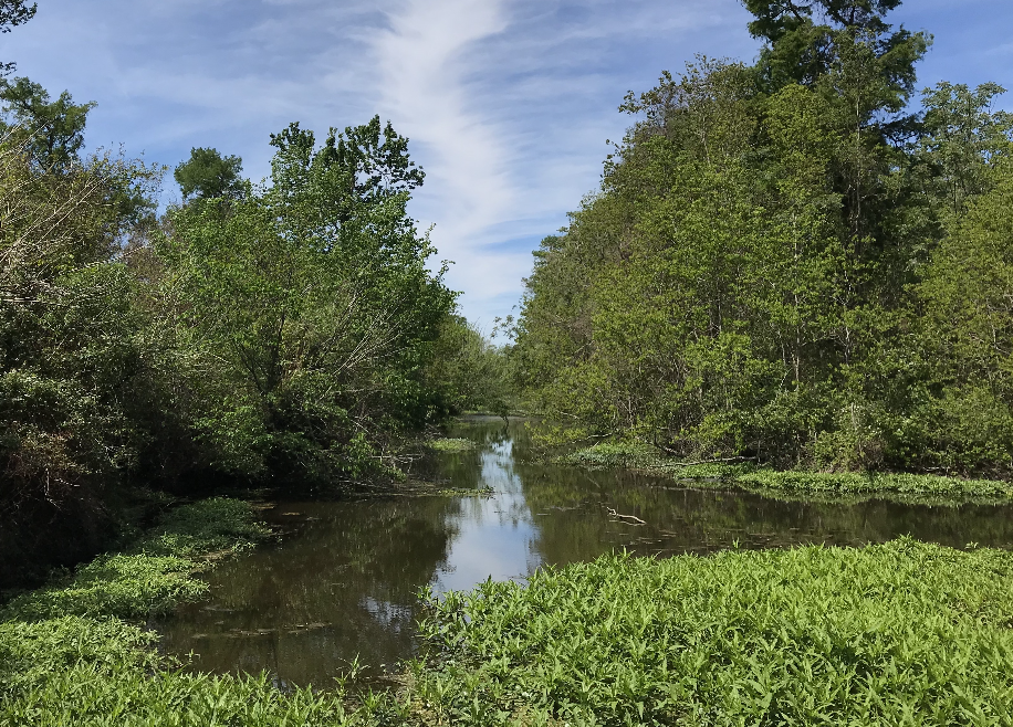
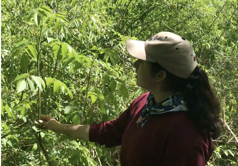
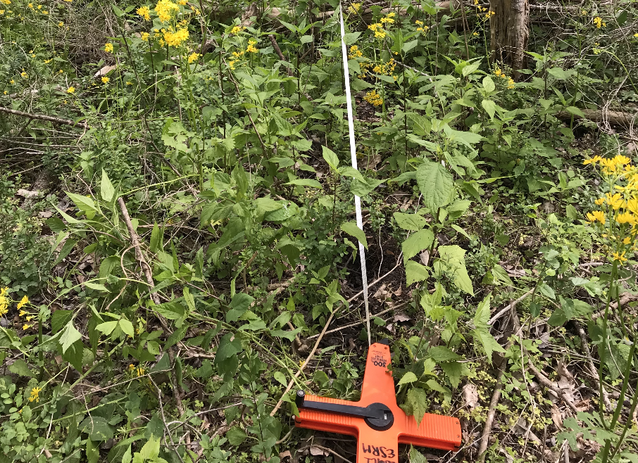
The study area is located in Belle Chasse, Louisiana at the Woodlands Conservancy. Methods included species identification, percent cover, leaf litter, diameter and height along 100 meter transects throughout the study area.This project assesses invasive species management and wetland health post Hurricane Katrina. The Service Learning in New Orleans trip occurs every spring at CSUCI.
New Orleans culture was experienced by watching local jazz musicians, attending a cooking class and supporting the local farmers market. We visited the lower ninth ward, an area that was drastically impacted by Hurricane Katrina and volunteered planting a food garden for the neighborhood.
Here is where you can read my blog posts from this trip, as well as blog posts from students over time.


Virtual Visualization of Common Plant Species on Santa Rosa Island
Environmental Science and Resource Management Senior Capstone
California State University Channel Islands
Fall 2019- Spring 2020
Abstract: Santa Rosa Island is an island located off the coast of California and is one of the five islands in the Channel Islands National Park. California State University Channel Islands has a research station on the island that hosts students and community members. The Santa Rosa Island Research Station promotes learning in new ways, getting students to engage with nature and their classmates, and encourages citizen science. The intent of this study is to create an online form of a field guide for three main trails on the island. A protocol to assess common species along main trails was developed to collect data to make a field guide for visitors of the station. Data was collected by hiking the trails, noticing species that were common along the trail, taking photos and then identifying the species. This protocol narrows the study site to the Historic Ranch Area, Torrey Pines Trail and Cherry Canyon Trail. Using this data, 39 of the most common species found on the three trails were used as focus species. As a result, it was found that Historic Ranch has the least amount of endemic species while Cherry Canyon has the most. Two versions of the field guide were created to assess learning, a physical paper copy and an online version using ESRI Story Maps. A survey was given to a sample class to assess knowledge gain from the two field guides. Survey results results displayed students were able to gain different understandings from each format of the guide.
Faculty advisors: Dr. Dan Reineman, Russell Bradley, and Dr. Emily Fairfax
Virtual Reality Geology Tour of Lobo Canyon
Summer Undergraduate Research Fellowship (SURF)
California State University Channel Islands
Summer 2020
About: Summer SURF is a program through CSU Channel Islands that provides students the ability to work with faculty to conduct research over summer. For this project, I am working with Dr. Emily Fairfax, Dr. Kiki Patsch, April Hoberg, and Emily Orsborn to create a series of virtual reality tours of Santa Rosa Island. We are compiling existing 360 images of three areas on the island and embedding pictures and information into the tour. This project’s goal is to improve the accessibility of Santa Rosa Island by allowing students to visit the island virtually.
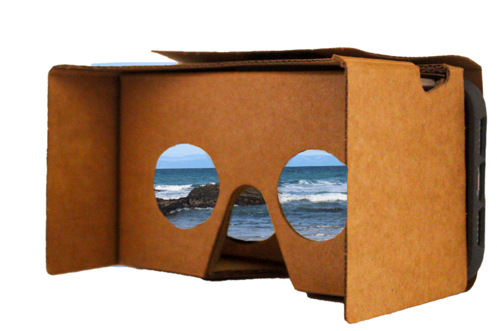
Why virtual reality is useful: Virtual reality is a tool that can be used to help improve accessibility of the outdoors. Whether it is due to a disability, economic status, or proximity to open space, there are many people who do not get to experience the outdoor spaces such as National Parks. When using Santa Rosa Island as an example, there are many students from CSUCI who are unable to make it to the islands during their time at the University. This could be due to them not taking classes that go to the island, fear of the unknown that comes with going to the island, or due to a disability that prevents them from being able to go. The Google Cardboard headsets are $15, which allows classrooms to have multiple sets for students to explore different places. Virtual tours such as these allow for students to be able to learn about the outdoors without having to leave their classroom or home.
Virtual Reality Tour of Lobo Canyon, Santa Rosa Island: This tour may be viewed in an online platform through GooglePoly, or in virtual reality using a GoogleCardboard headset. To view via GoogleCard board, first download the “Expeditions” app on a cell phone. Download tour, then press “View in VR”. Line your phone with the Google Cardboard and look through the lens. Use the button on the top of the Google Cardboard to assist with selecting. Select an info or picture box to view more within the tour.
Tour Handout: This is a geological tour of Lobo Canyon Trail on Santa Rosa Islands, Channel Islands National Park. This ten stop tour will give you information on getting to the island, geology of Lobo Canyon and a few plants that may be seen. This handout is to be used with the tour and includes a map of the tour, trail descriptions and explanations as to what can be found on each trail.
The Global Rise of Illegal Sand Mining
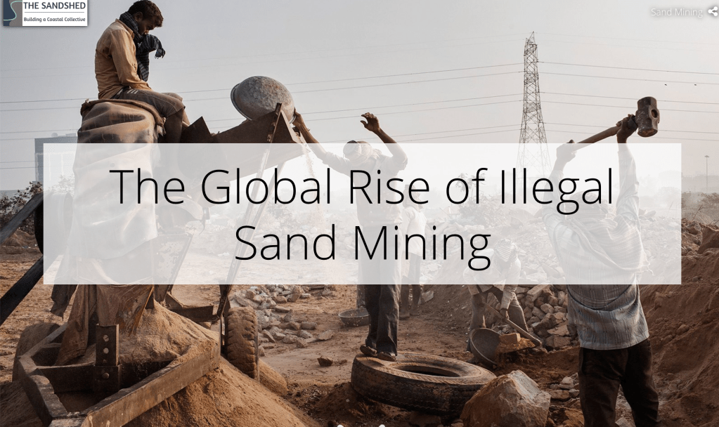
The Global Rise of Illegal Sand Mining is a story map that was created to raise awareness on sand mining collaboration with Dr. Kiki Patsch and Cassandra Rogers in 2019. I created a map on a global scene to show all known locations where sand mining is occurring. Each dump truck is an interactive symbol that includes a link to an article related to that location. Time slides of select locations were included to show the environmental impacts of sand mining. See the story map here.
Virtual Visualization of Common Plant Species on Santa Rosa Island
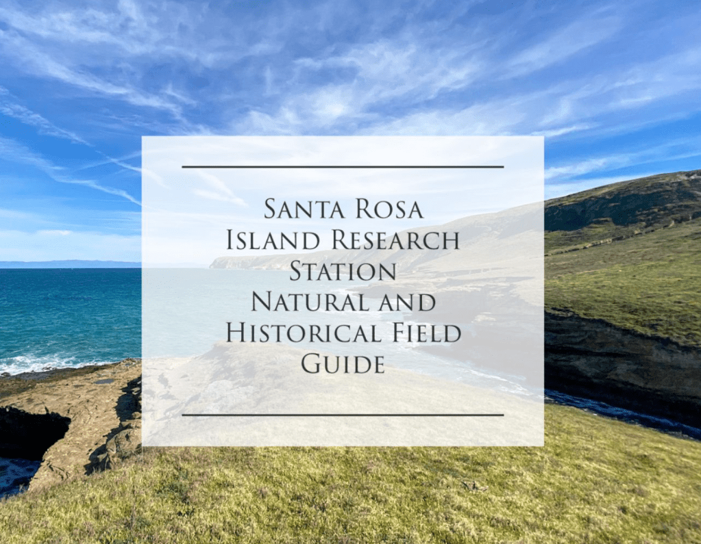
An interactive field guide of commonly found plant species on Torrey Pines Trail, Cherry Canyon Trail, and the Historic Ranch Area on Santa Rosa Island done as a senior thesis project at CSUCI. You can read more about this project here and view the story map here.
